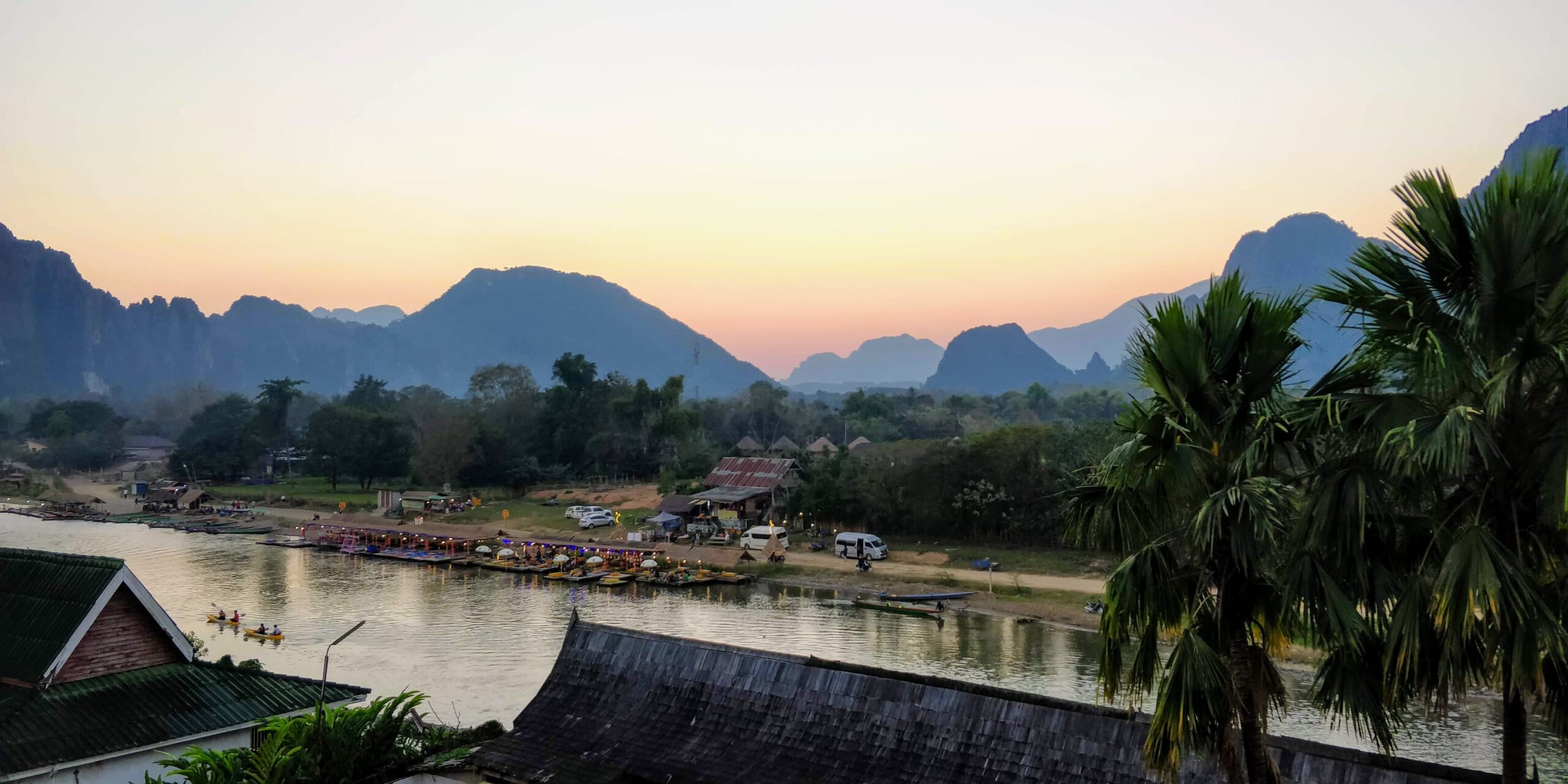
Laos is a country in northeast-central Southeast Asia that can only be reached by land. It has a part in the north that is irregularly round and a part in the southeast that looks like a peninsula. Laos possesses a geologically diverse landscape, which includes forested mountains, upland plateaus, and lowland plains. This landscape supports a geologically diverse population, which is largely united through agriculture, particularly the cultivation of rice. In this article, we’ll talk about the beautiful country’s different mountain ranges.
Annamite Range
The Annamite Range or the Annamese Mountains spanning Laos, Vietnam, and a tiny region in northeast Cambodia. The highest points of the range are Phou Bia at 2,819 m (9,249 ft), Phu Xai Lai Leng at 2,720 m (8,920 ft), and Ngc Linh (Ngoc Pan) at 2,598 m (8,524 ft). The Nape Pass and the Mu Gi Pass both found in the Annamite Mountain Range are considered to be important mountain passes.
The Annamite Range, which is located in Vietnam and runs parallel to the country’s coastline, separates the Mekong River basin from the coastal plain that is located along the South China Sea in Vietnam. The Laotian side contains the vast majority of the crests. The plain is drained by a plethora of smaller rivers and the eastern slope of the mountain range climbs steeply up from it. The western hill is less steep and has large plateaus before it goes down to the Mekong River. Phouane Plateau, Nakai Plateau, and Bolaven Plateau are the three primary plateaus that are located within the range itself, moving from north to south.
The Annamite mountains are an integral element of the Annamite Range Moist Forests Ecoregion, which is a globally significant tropical seasonal forest ecoregion. This ecoregion consists of two terrestrial ecoregions: the Southern Annamite montane forests and the Northern Annamite wet forests. Both of these types of forests are found in the Annamite Mountains. The range is home to numerous endangered species, including the Chinese pangolin, the Indochinese tiger, the recently discovered Annamite rabbit, the huge gaur, the Douc langur, and the antelope-like saola.
Luang Prabang Range
The Luang Prabang Range, named after the city of Luang Prabang, is a mountain range that runs through both northwestern Laos and northern Thailand. Most of the range is in Sainyabuli Province, which is in Laos. There are also small parts in Phitsanulok Province and Loei Province, both in Thailand. Several rivers, like the Nan, Pua, and Wa, start in these mountains. The largest and tallest waterfall in Nan Province, Phu Fa waterfall, is also in these mountains. The Luang Prabang montane rain forests ecoregion includes this range. It has the same kind of rock as the parallel Khun Tan Range and the Phi Pan Nam Range, which are both farther west.
On the Sainyabuli Province side of the Luang Prabang Range, there are almost no roads for cars. There is only one north-south road that goes from Sainyabuli, the provincial capital, to the Thai border opposite Loei Province in Thailand.
On the highest parts of the range, there are evergreen hill forests. Below 1,000 m, there are mostly dry deciduous forests with a lot of teak trees, which has caused a lot of trees to be cut down. Like most ranges in the area, a lot of the natural forest cover has disappeared because farming methods have changed and people have cut down trees without permission. The region is thought to be the military’s primary trading ground for timber.
A sizable protected region in Laos, Nam Phouy National Biodiversity Conservation region, is home to several wild elephants. It is near to the Thai border and is in a forested area. The Lower Nam Phoun dam’s planned reservoir, on the other hand, will be built in part of the Nam Phouy NBCA. This means that a big part of the protected area will be flooded in the future.
Phi Pan Nam Range
The Phi Pan Nam Range, also called Pee Pan Nam, is a group of mountain ranges in the eastern half of the Thai hills that stretch for 400 km or 249 mi. It is mostly in Thailand, but a small part of the northeast is in the Laos provinces of Sainyabuli and Bokeo.
The Phi Pan Nam Range is made up of many smaller mountain ranges that are roughly aligned north to south in the north and northeast to southwest in the south. These mountain ranges cover a large area and are often divided by lowlands or basins. They come to an end in the south with the Central Plain of Siam, in the east with the Luang Prabang Range, and in the west with the Khun Tan Range. The northern tip is encircled by the Mekong River.
There used to be large teak woods in various regions of the range. But when logging companies were permitted to take down trees at the start of the 20th century, the amount of forest in the flat spaces between mountain ranges significantly decreased. Deforestation has also hurt places that were cleared to grow crops. Wildfires are often started on purpose by local farmers or by speculators who pay people to set fires in woods so they can claim land title deeds for the “degraded forest” areas.
Most of the time, teak and bamboo forests are known for being in the Phi Pan Nam’s forests. Tropical dry broadleaf forests cover the mountain ranges. There are areas of moist evergreen forest, mixed deciduous forest, dry deciduous forest, and hill evergreen forest at higher elevations. There are many different kinds of animals and plants in these mountains and their few unspoiled rivers. The whole mountain range is in the ecoregion of Central Indochina dry forests.
In the Phi Pan Nam mountains, there are a number of protected places, most of which are mountainous. These are spread out unevenly across the mountain range, and the biggest national parks are in the middle, near Phayao town. Most protected areas are surrounded by agricultural areas. These areas are often near roads and towns, so the edge effect affects a large area.
Dangrêk Range
The Dangrêk are a mountain range with tops that are, on average, about 500 m above sea level. The highest hill is Phu Khi Suk, which is only 753 meters high at the eastern end. It is in the Chong Bok (603 m) area, which is where the borders of Thailand, Laos, and Cambodia meet.
The Dangrêk Mountains were once part of the ancient Khmer Empire, which grew northward across them. In 1220, under Jayavarman VII, the Isan area was almost completely controlled. There are stone images on the Pha Mo I-Daeng cliff, old stone-cutting quarries, and the Sa Trao reservoir among the archaeological sites in the mountain area. Along the border area of the Dangrêk mountain chain, there are also the remains of sanctuaries that were made for spirits called phi ton nam, which means “watershed spirits.” But the Prasat Preah Vihear complex is the largest and most important archaeological site in these mountains. It is a Shaivite temple from the Khmer Empire that dates back to the rule of Suryavarman I. It is in a dramatic place on top of a high hill.
Most of the mountains are made of big pieces of rock, along with slate and silt. On the northern side of the mountain range in Ubon Ratchathani Province, there are a few unique basalt hills like Dong Chan Yai (293 m) and Dong Chan Noi (290 m).
To summarize
Laos is mostly made up of mountains, and areas above 500 meters usually have steep terrain, small river valleys, and little land that can be used for farming. Most of the north of the country is covered with these mountains. In the southern “panhandle” of the country there are a lot of flat places that are good for growing paddy rice and raising animals. A lot of the province on the east of all the southern provinces are hilly. Most people live off of farming, so these mountain areas are their main source of income.