A mountain range or hill range consists of a line of mountains or hills connected by high ground. A mountain system or mountain belt is a group of mountain ranges with similar form, structure, and alignment that originated from the same process.
Typically, mountain ranges are divided by highlands, mountain passes, and valleys. The geological structure and petrology of individual mountains within the same mountain range are not always identical. They may consist of a variety of orogenic expressions and terranes, such as thrust sheets, uplifted blocks, fold mountains, and volcanic landforms, resulting in a wide range of rock types.
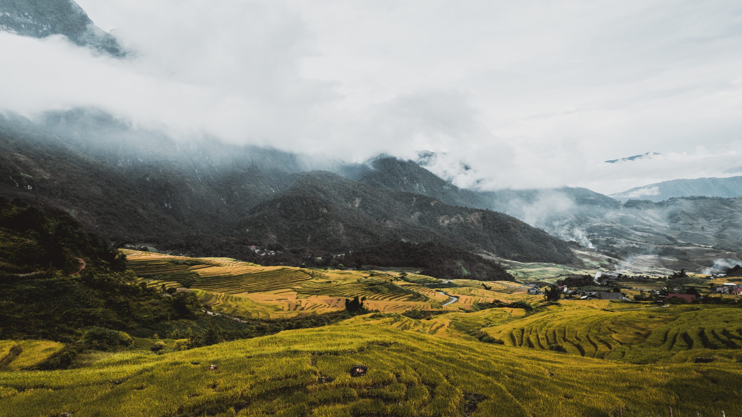
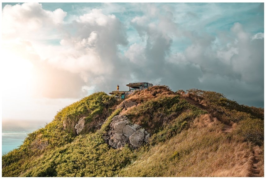
Vietnam is a beautiful nation in southeast Asia that is home to beautiful beaches, rugged mountains, a rich culture, and delicious cuisine. There are 4,561 named mountains in Vietnam. This article will discuss the main mountain ranges in Vietnam.
Marble Mountains
Marble Mountains is a cluster of five marble and limestone peaks located south of Da Nang, Vietnam, in the Ngu Hanh Son ward. Kim (metal), Thuy (water), Moc (wood), Hoa (fire), and Tho (earth) are the names of the five’mountains’, which are named after the five elements. There are cave entrances and numerous caverns in each of the mountains, and it is possible to reach the summit of one of the peaks. In addition, a number of Buddhist sanctuaries can be located in the mountains, making this a popular tourist destination.
The mountain range is renowned for it is used in stone carving and sculpture industries. Recently, the direct extraction of rocks from mountains was prohibited. Materials are currently being transported from quarries in the province of Quang Nam.
Numerous Buddhist and Hindu grottos are located in the Marble Mountains. The summit of Thuy Son, the only marble mountain accessible to travelers, is reached via 156 steps. It provides a panoramic view of the adjacent landscape and other marble mountains. There are several grottoes, including Huyen Khong and Tang Chon, as well as numerous Hindu and Buddhist sanctuaries, the 1825-built pagoda Tam Thai, Tu Tam and Linh Ung, and the Pho Dong tower. Statuary and relief depictions of religious scenes are sculpted into the marble of the sanctuaries.
Annamese Mountain Range
Annamese Cordillera, French Chaine Annamitique, Vietnamese Giai Truong Son, the largest mountain range in Indochina and the watershed for the Mekong River and South China Sea. It forms the border between Laos and Vietnam by extending parallel to the coast in a gentle northwest-southeast curve. An approximately 700-mile-long (1,100-kilometer-long) range with relatively steep eastern slopes that end in a narrow coastal plain. Although its highest point, Linh Peak, is only 8,524 feet (2,598 metres) in elevation, the range has only a handful of significant passes, the most significant of which is the Keo Nua Pass in northern Vietnam, which is part of the route between Muang Khammouan, Laos, and Vinh, Vietnam, and the Mu Gia Pass.
The climate of the range is tropical monsoon, with a brief arid season from December to April. Heavy summer and autumn rainfall sustains a tropical mountain rainforest, despite widespread deforestation caused by U.S. military operations in the 1960s and 1970s and cutting for fuel and timber exports in the 1980s and 1990s.
The Annamese is a biodiversity hotspot, with thousands of flora and animals hidden within its borders. Poaching and development pose a threat to several uncommon and endemic species, according to numerous environmental organizations.
The Annamese Mountains also serve as a natural divider between the Mekong River Basin and the eastern portion of Vietnam. On the Vietnamese side of the border, the mountains rise abruptly from the littoral plain, whereas on the western slopes, the topography is more gradual and consists of a series of plateaus.
May Tào Mountains
The May Tào Mountains are a tortoise-shaped range of mountains located 45 kilometers north-east of Nui Dat, predominantly in the Bnh Tuy Province and partially in the Phc Tuy Province and Long Khánh Province. Nui May Tào was the geographic intersection of the provinces of Long Khánh, Bnh Tuy, and Phc Tuy.
During the Vietnam War, the mountains served as the headquarters for the Vietcong (VC) 5th Division and 275th Regiment and were known as the May Tao Secret Zone and Base Area 300. It was a highly developed, extensively dug-in, tunneled, and fortified base area. It had served as a VC headquarters and logistics base, training area, and hospital zone for a number of years. The 6th Battalion, Royal Australian Regiment, and two companies of the Royal New Zealand Infantry Regiment assaulted the complex as part of Operation Marsden between 1 and 28 December 1969, seizing vast quantities of weapons, equipment, supplies, and pharmaceuticals and destroying the hospital complex. On one of the peaks, a fire support base (FSB Castle) was established. During the operation, four Australians were slain and nine others are injured. 22 VC were killed, 5 were wounded, and 21 prisoners were captured, 14 of whom were hospital patients. Approximately 1.5 tons of pharmaceuticals were captured, which is believed to be the largest volume ever captured by allied forces during a war. The discovery and devastation of the hospital would be a significant setback for the VC forces in the region.
Bảy Núi Mountains
Bảy Núi Mountains, also known by the Sino-Vietnamese version Tht Sn is a range of small mountains located in the Tri Tôn and Tnh Biên districts of An Giang Province in Vietnam, very near to the Cambodian border.
The 710-meter Thiên Cm Sn (the Cm Mountains) is the highest peak in the Mekong Delta region and the highest peak in the mountainous region of Tht Sn. Ni Cm is known as the “à Lt of the Mekong Delta” because of its magnificent mountainous landscape.
Before reaching the Seven Mountain found in this range, visitors must climb Ba The mountain. The mountain is approximately 200 meters above sea level and is home to numerous species of monkeys, squirrels, herons, and wild animals. It is located near the poetic Thoai Ha River.
From the fourth lunar month to the seventh lunar month, the mountain is typically crowded with visitors and pilgrims. On average, 1,000 visitors per day visit the mountain, where approximately 3,000 people reside.
Ba Vì Mountain Range
Vietnam’s Ba Vì mountain range is composed of sediment and limestone. It encompasses approximately 50 km2 in the Ba Vì, Lng Sn, and K Sn districts of Ha Bnh province. In Vietnamese folk religion, the Ba Vì mountain range is known as “the lord of mountains” (ni cha), despite not being the highest mountain range in Vietnam.
This mountain range contains numerous peaks, but the most notable is Tn Viên Peak. Tản Viên mountain is 1,281 m high. In Vietnamese mythology, Sn Tinh, the mountain deity, resides on this mountain. However, the highest peak in this range is Vua Peak (or King Peak), with an elevation of 1,296 meters. This mountain’s peak is home to a shrine dedicated to former Vietnamese president Ho Chi Minh.
At the western base of the Ba Vì mountain range is the à river, while at the eastern base is the 7-kilometer-long, 4-kilometer-wide Sui Hai artificial lake. Covering the Ba Vì mountain range are virgin forests. Ba Vì National Park is a biodiversity hotspot. In northern Vietnam, the Ba Vì mountain range is a well-known ecotourism destination.
To summarize
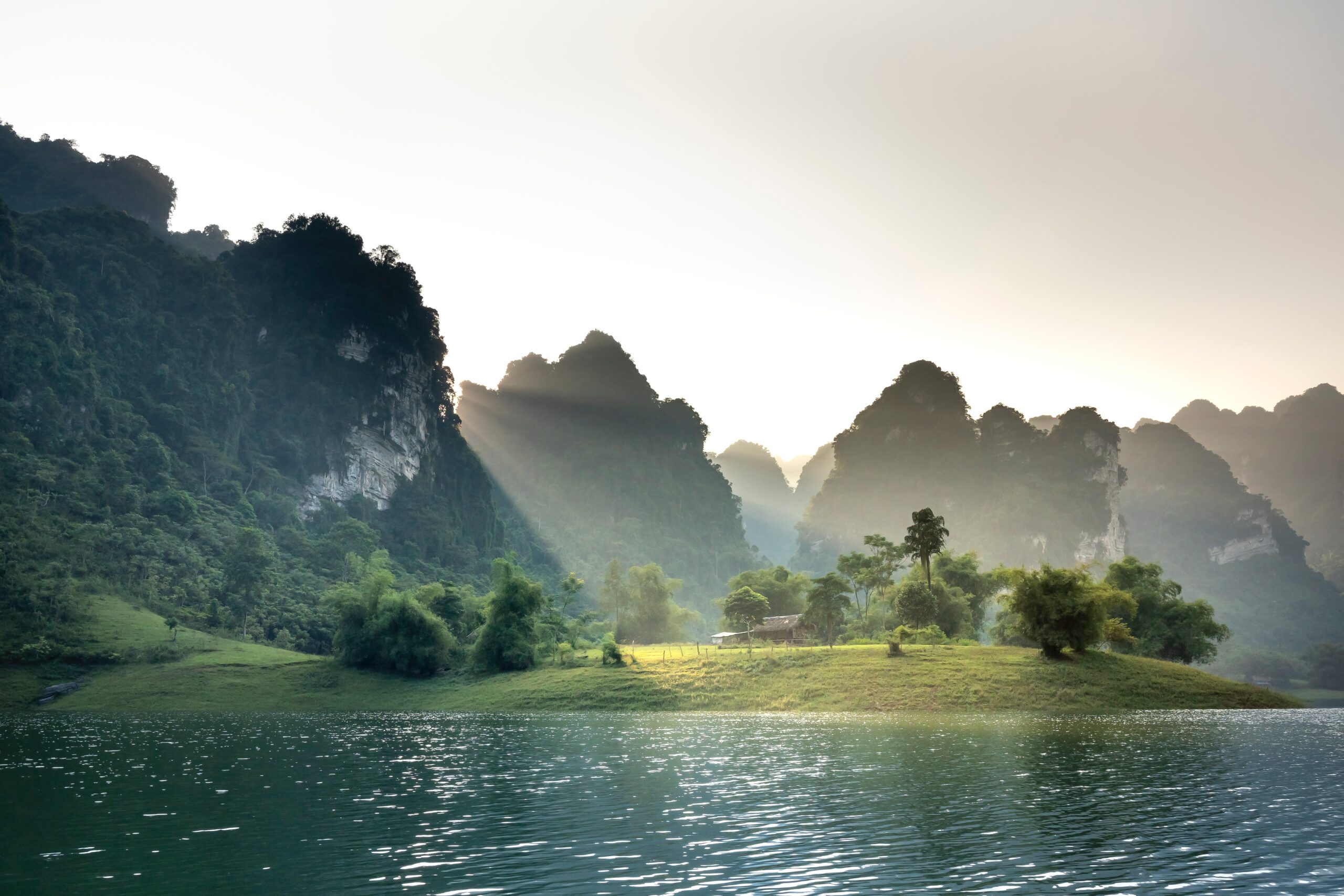
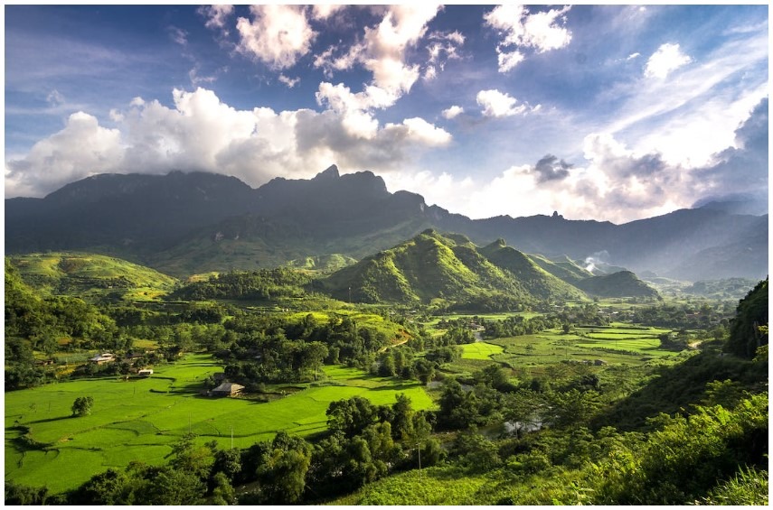
A third of Vietnam’s terrain is mountainous, so mountains play a significant role in the country. In addition to providing vast natural resources, the mountains are home to the most breathtaking landscapes and diverse ethnic groups. The mountains also provide tranquility, joy, and contentment.
There are mountain ranges in various parts of the nation, and each of them has its own unique beauty, but the mountains in the north are regarded as the most spectacular, with their difficult but breathtaking mountain roads and poetic streams winding through the foothills. Waterfalls, meadows, and rice fields interspersed with ethnic villages await your discovery at every turn.